Jhurio Fm
Type Locality and Naming
Jhurio (Jharu Hill), north of Bhuj, type section is along a nala about 0.8 km west of Badi (Biswas, 1977)
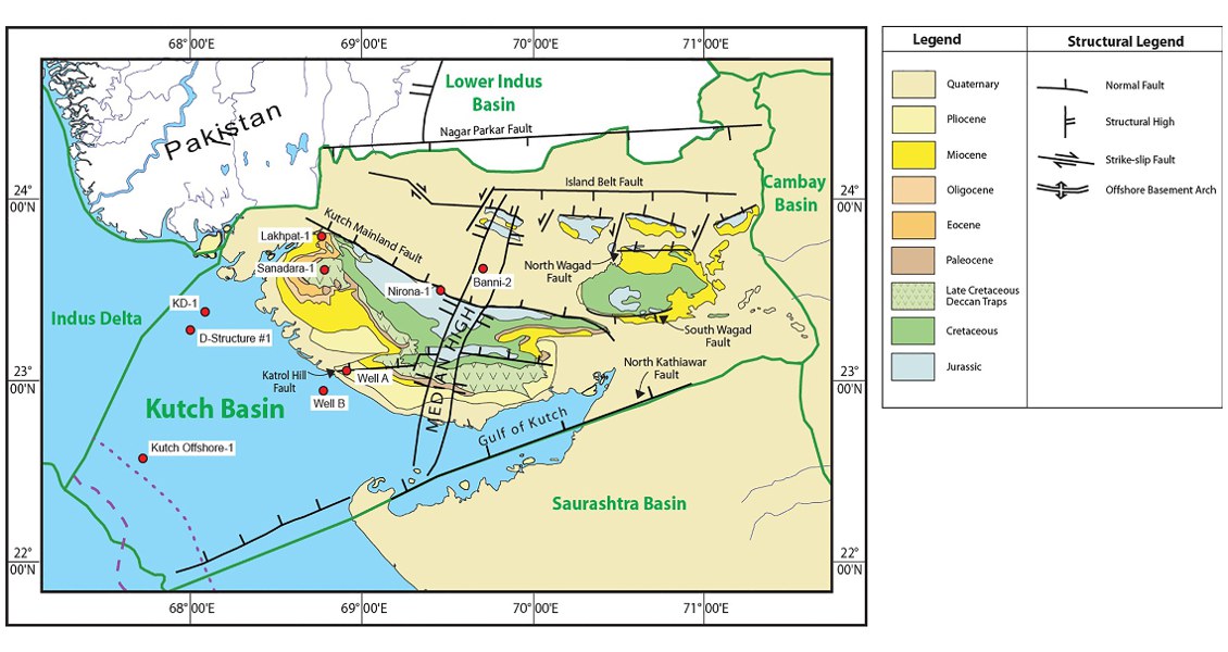
[Fig. Geological and structural map of Kutch, also showing the onshore and offshore wells drilled for oil exploration. (Map by Rasoul Sorkhabi in GeoExpro Dec2014, based on various sources including S.K. Biswas, Current Science, 25May2005)]
Lithology and Thickness
Limestone. White limestone (pelmicrite and pelsparite); older oolitic bands with shale and limestone occur towards the middle and lower sections. In the type section it is +287 m, in subsurface thick varies from 665 to 800 m.
Relationships and Distribution
Lower contact
Not recognized/exposed in the type section, in the subsurface disconformable with underlying Kaladongar Fm
Upper contact
Conformable with the overlying Jumara Fm claystone, in the subsurface a fall in resistivity and increase in gamma count is noticed against this contact
Regional extent
GeoJSON
Fossils
Common mega fossils observed are Ammonite sp., Rhynconell sp., Trigonia sp., Ostrea sp., Belmenites sp., Epostomina regularis, E. ghosi etc. (Pandey and Dave, 1993).
Age
Depositional setting
The formation was deposited in a sub littoral transgressive environment
Additional Information
